Get in losers, we're completing a street
On Sunday, a group of friends and I completed our first street, Curson Avenue. What is “Complete A Street”? Inspired by the annual Great LA Walk, my friends Kira and Ben had the idea to walk the entire length of a street from beginning to end:
“Los Angeles has been sliced, diced, and remapped throughout its chaotic 300+ year history. The fragments and fossils of these old routes persist, but it can take some sleuthing to find them. Our expedition will tackle rediscovering these routes, the history about and around them, and maybe finding some stuff we wouldn’t otherwise be aware of!”
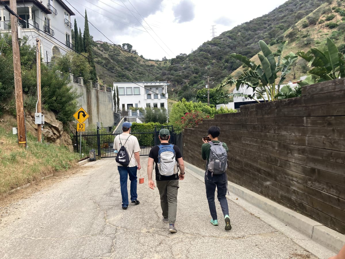
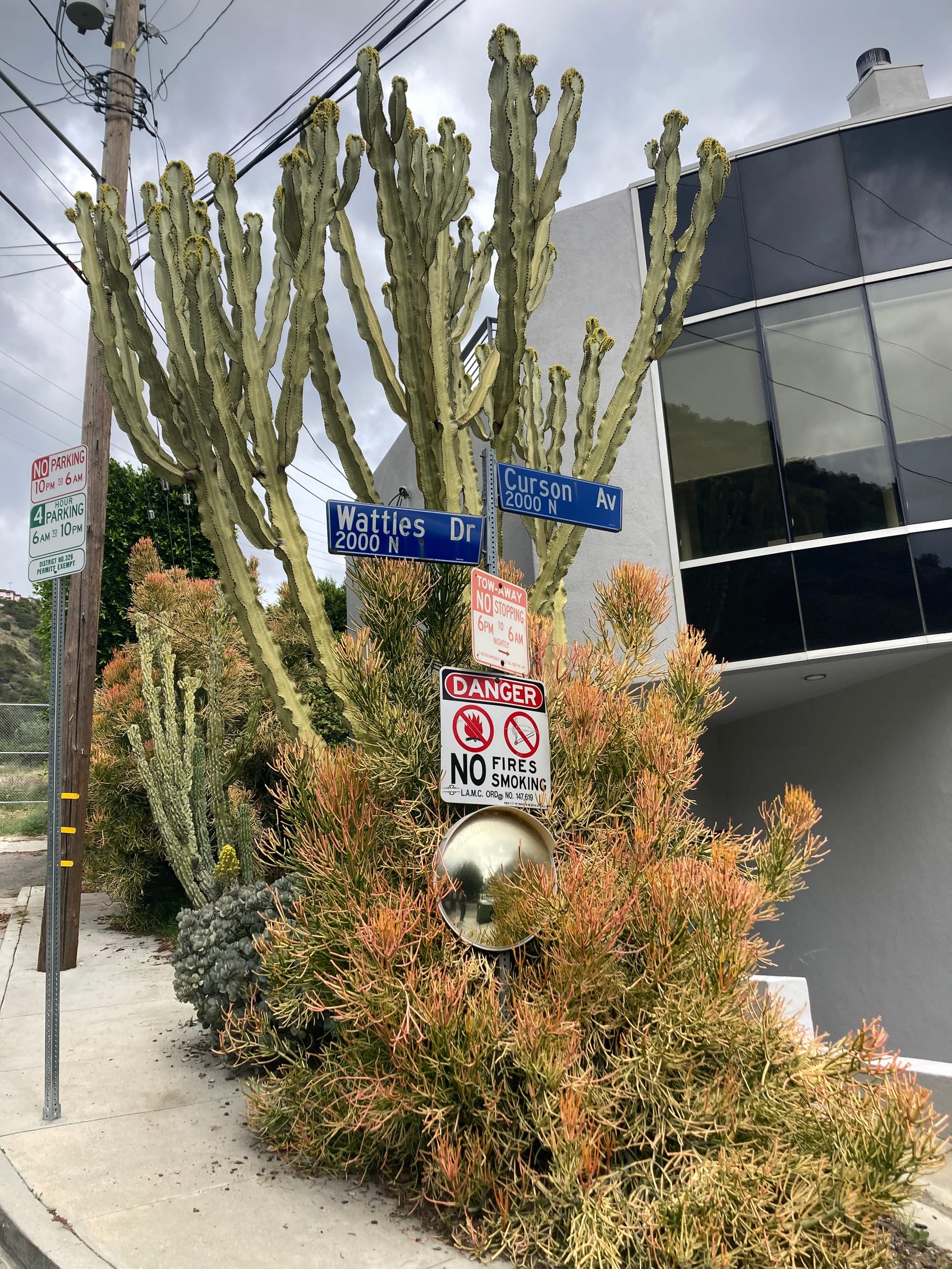
For our first street, we started at Hollywood / Highland station then walked to Runyon Canyon after grabbing some Wetzel’s Pretzels for fuel. We climbed through the park, past remnants of the historic Outpost sign, then around to the official start of Curson at the intersection of Wattles Drive and N. Curson Ave.
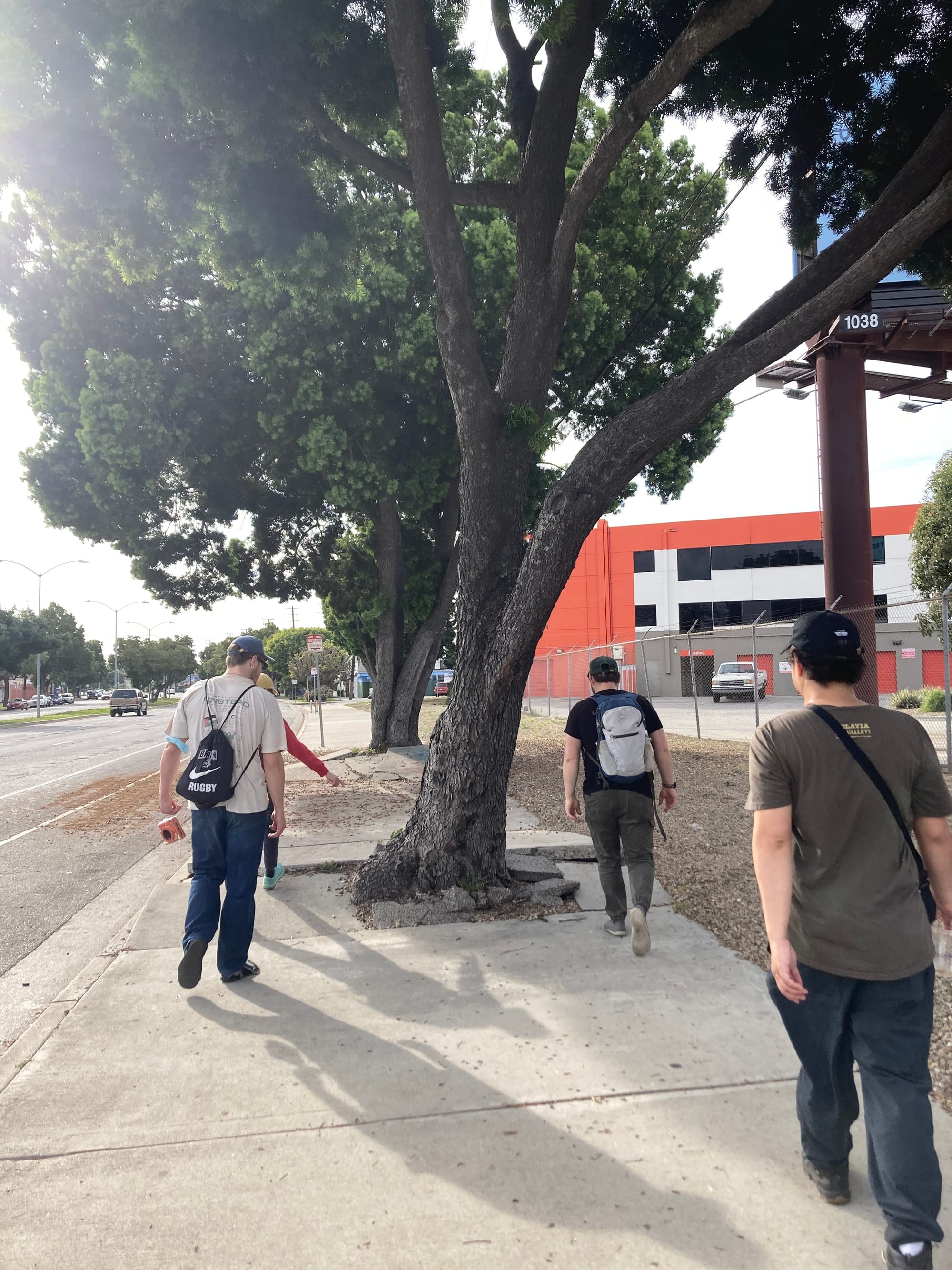
We wended our way down into Hollywood, through West Hollywood, then mid-city west, then to West Adams.
Thoughts & highlights
Curson was mostly quiet and residential but we did have to cross a few major streets with no streetlight or crosswalk.
Curson is the first street I ever lived on in LA! It cuts through Park La Brea, a massive multi-family development that was first built in the 1940s.
Broken sidewalks. Enough said.
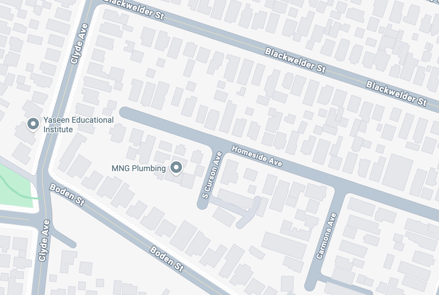
Once we crossed Venice Boulevard, Curson breaks into fragments of a street, most of which we traversed (we missed a tiny leg at the very end, shhhh, don’t tell anyone). My friend Ben explained that these southern bits of Curson were never connected, even in maps going back to the 1920s.
The strips of land separating dead-end residential streets from Ballona Creek are a fascinating liminal space (owned by the city?).
The segment of Washington Boulevard east of the 10 was THE WORST — forsaken by God and electeds. I once biked to Marvin Elementary on Curson for a story and I was struck by the speed of cars, the abject condition of the sidewalks and the lack of storefronts.
What street should we complete next?